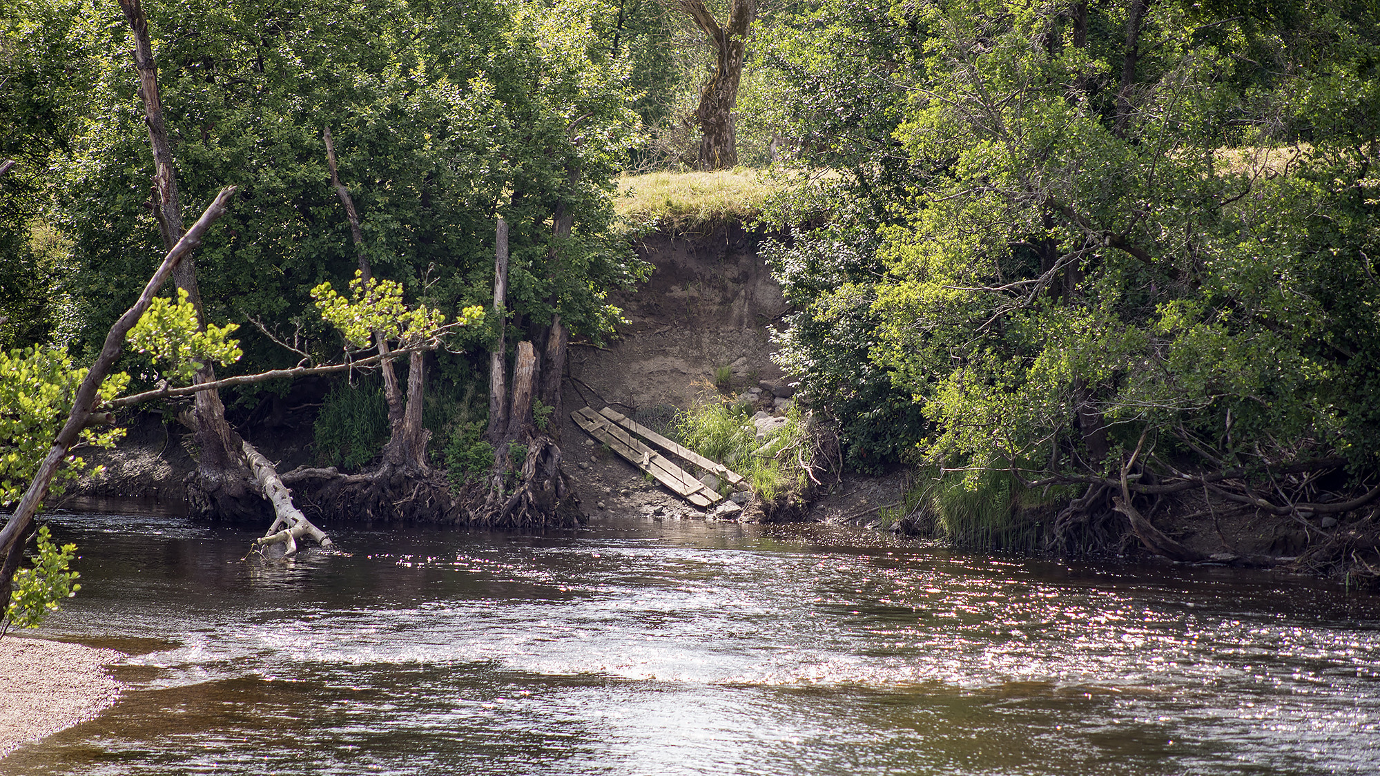
Sweden has many areas that are susceptible to landslides. Areas located along watercourses running through soft soil layers are often more vulnerable than others. The purpose of the landslide risk mapping is to provide a comprehensive picture of the landslide risks along the selected river or stream. The mapping illustrates both the current risk and the projected risk up to the year 2100.
The prioritisation of watercourses for mapping, from a socioeconomic perspective, is based on a study conducted by SGI in 2013 and updated in 2019. The order of priority is determined using criteria such as societal impact, geological and geotechnical conditions, and climate parameters.
The result of the landslide risk mapping is a comprehensive landslide risk map showing likelihood, consequence, risk, and climate impact. These maps are presented in SGI’s web-based map viewer and are intended to serve as a planning tool at the comprehensive (overview) planning level.
To date, landslide risk mapping has been carried out for the watercourses Norsälven, Säveån, and Ångermanälven. Mapping is currently underway for Viskan.
